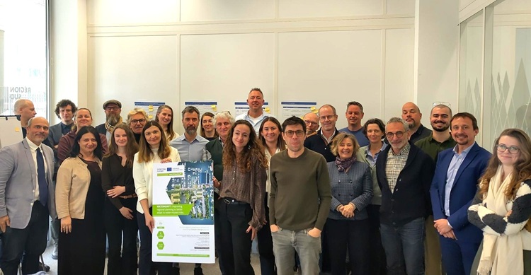
Europe is facing unprecedented water challenges: flooding, droughts, groundwater salinization, and rising sea levels. These climate-exacerbated phenomena threaten coastal and inland territories, as well as the populations and ecosystems that depend on them. The WaterAdapt project (Interreg Europe) brings together seven regional and local authorities (Denmark, France, Italy, the Netherlands, Slovakia, and Albania) to improve water-related risk adaptation policies and strengthen territorial resilience.
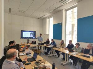
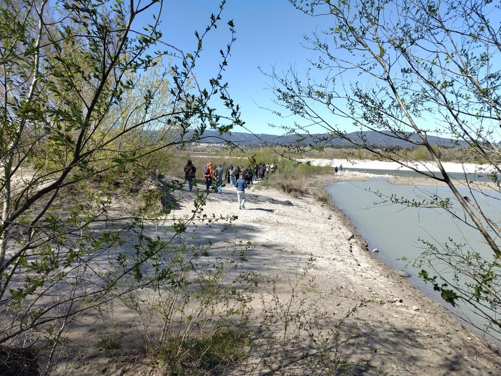
From March 31 to April 2, 2026, WaterAdapt partners gathered in the Provence-Alpes-Côte d’Azur region to exchange best practices, innovations, and strategies for addressing these challenges. This interregional event, held between the Durance Basin and Camargue, highlighted inspiring solutions for integrated and sustainable water management.
Day 1: The Syndicat Mixte de la Vallée de la Durance (SMAVD) – A Driver of Water Adaptation and Democratic Debate
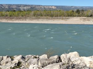
The European partners visited the Durance River Basin to study the water risk adaptation strategies implemented by the SMAVD. This territory, which supplies water to over 5 million people and produces 10% of France’s hydroelectricity, exemplifies the challenges posed by climate change: devastating floods (up to 5,000 m³/s), recurrent droughts (such as in 2022), and soil erosion.
The SMAVD, the public authority responsible for integrated water management, presented its three strategic pillars to enhance the basin’s resilience:
1. Knowledge and Anticipation Tools
To better prevent risks, the SMAVD has developed cutting-edge tools:
- Dynamic Atlas of Flood Zones: An early warning system that allows local authorities and emergency services to identify at-risk areas in real time during floods.
- VigiDurance Verdon: A data-sharing platform on water resources, used to coordinate actions against droughts.
- C3PO Project: A climate model that simulates the impacts of climate change on water uses (agriculture, hydroelectricity, tourism) and tests adaptation scenarios. “Without adaptation, extreme droughts like the one in 2022 will become the norm by 2050,” explains Philippe Picon, Director of Water Resources at SMAVD.
2. Shared and Inclusive Governance
The SMAVD has established consultation bodies for balanced water resource management:
- Local Water Commission: Brings together over 100 stakeholders (local authorities, state representatives, industries, farmers, and associations) to debate usage priorities and resource sharing.
- Durance Water Parliament: A citizen body that promotes transparency and co-construction of water management policies.
- River Contracts: Multi-year action plans to protect ecosystems and secure human water uses.
“Water management can no longer be the responsibility of a handful of experts. It must be collective and democratic,” emphasizes Bertrand Jacopin, Director of Studies and Works at SMAVD.
3. Nature-Based Solutions
The SMAVD prioritizes ecological approaches to risk management:
- Reduction of Dikes: From 1,000 km to 80 km of dikes, allowing the river to regain its natural morphology and better absorb floods.
- Water Discharge Valorization: 1 billion m³ per year, currently discharged into the Berre Lagoon, could be reused for irrigation or groundwater recharge.
- Sediment Restoration: 320,000 m³ of gravel reintroduced into the Durance riverbed to restore its natural dynamics.
On-site observations by WaterAdapt partners:
- Mallemort’s Set-Back Dikes: Allow water to overflow without causing destruction while protecting inhabited areas.
- EDF Canal: Diverts 150 m³/s (more than the Durance’s average flow) for hydroelectric production. “These infrastructures, which protect us from floods, also worsen droughts. We need to find a balance,” notes Philippe Picon.
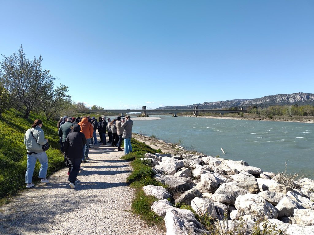
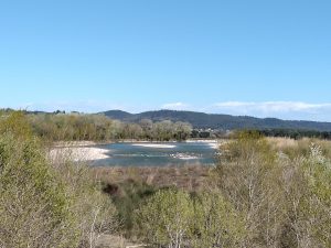
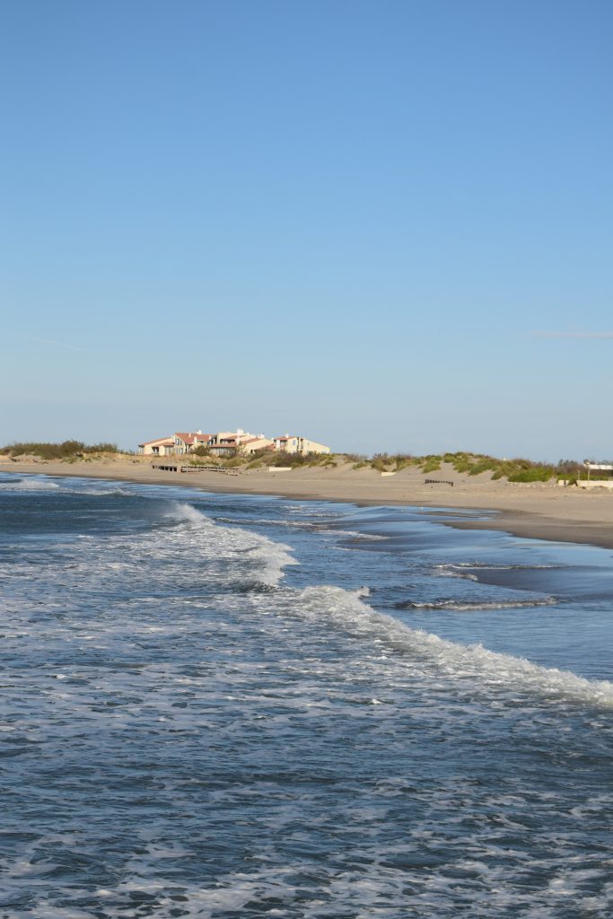
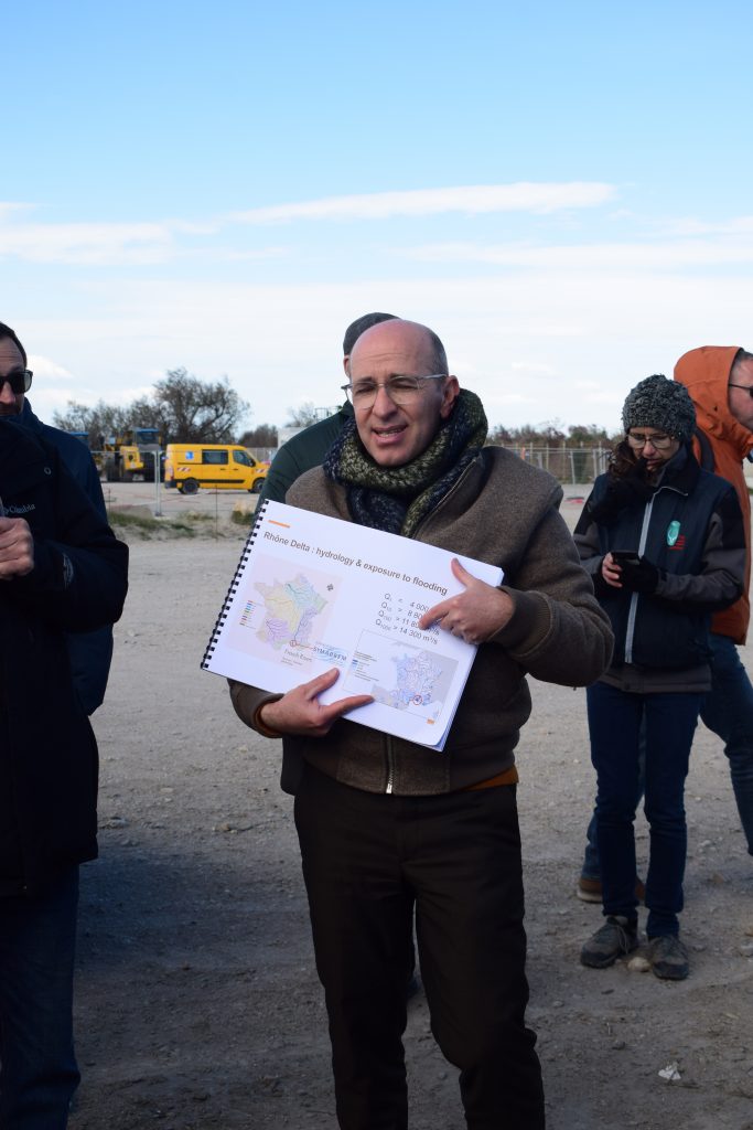
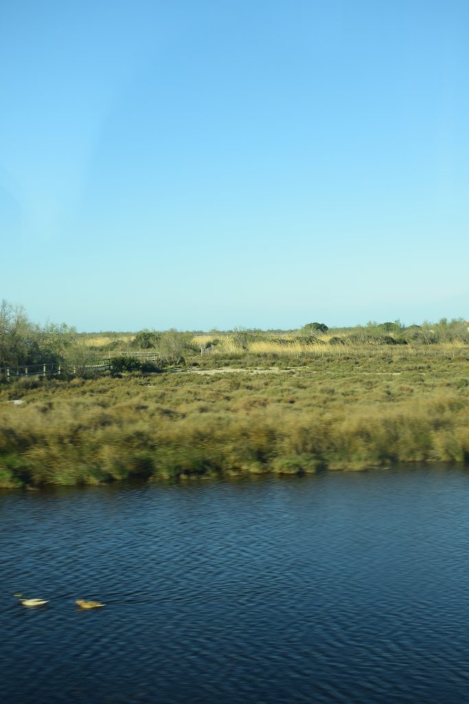
Day 2: Camargue – A Fragile Ecosystem and a Pioneer in Climate Adaptation
The European partners continued their exchanges in Camargue, specifically in the Saintes-Maries-de-la-Mer area, where wetlands, rice fields, and fragile ecosystems coexist. Visits organized by the Camargue Regional Nature Park, SYMADREM (Mixed Syndicate for the Development of Rhône and Camargue Dikes), the Coastal Conservatory, Tour du Valat, and the Camargue National Nature Reserve showcased innovative solutions combining adapted infrastructure, nature-based solutions, and collaborative governance.
Camargue, located just meters above sea level, is particularly vulnerable to climate change:
- Rising Sea Levels: With an average rise of 3.25 mm per year (IPCC median scenario), the risks of flooding and coastal erosion are increasing.
- Soil Salinization: Marine intrusion threatens crops, particularly rice fields, and fragile lagoon ecosystems.
- Flooding: Rhône floods, combined with rising waters, intensify risks for inhabited areas and economic activities.
“Camargue is an open-air laboratory for testing adaptation solutions. Here, every decision directly impacts the balance between nature, agriculture, and tourism,” explains Thibaut Mallet, Director of SYMADREM.
Key Initiatives in Camargue
1. Rethinking Dike and Coastal Risk Management
- Submersion-Resistant Dikes: Instead of building unsinkable structures, new dikes are designed to resist overflows while allowing controlled water flow.
- Strategic Retreat: Dikes are now positioned further back, giving more space to wetlands and reducing the risk of breaches.
- Six Adaptation Scenarios by 2100: Developed with experts, these scenarios help anticipate the impacts of rising waters and prioritize investments.
“We’ve realized it’s impossible to protect everything. We must choose: either spend billions on ever-higher dikes or accept retreat and work with nature,” summarizes Thibaut Mallet.
2. Nature-Based Solutions to Limit Erosion
- Dune and Marsh Restoration: In collaboration with the Coastal Conservatory, buffer zones are created to absorb wave energy and limit erosion.
- Adapto+ Project (Life Adapto): This European project tests natural solutions to adapt coastal ecosystems, such as revegetating dikes with salt-resistant plants.
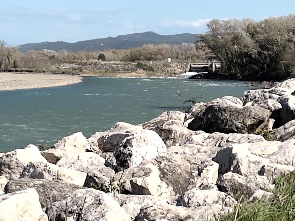
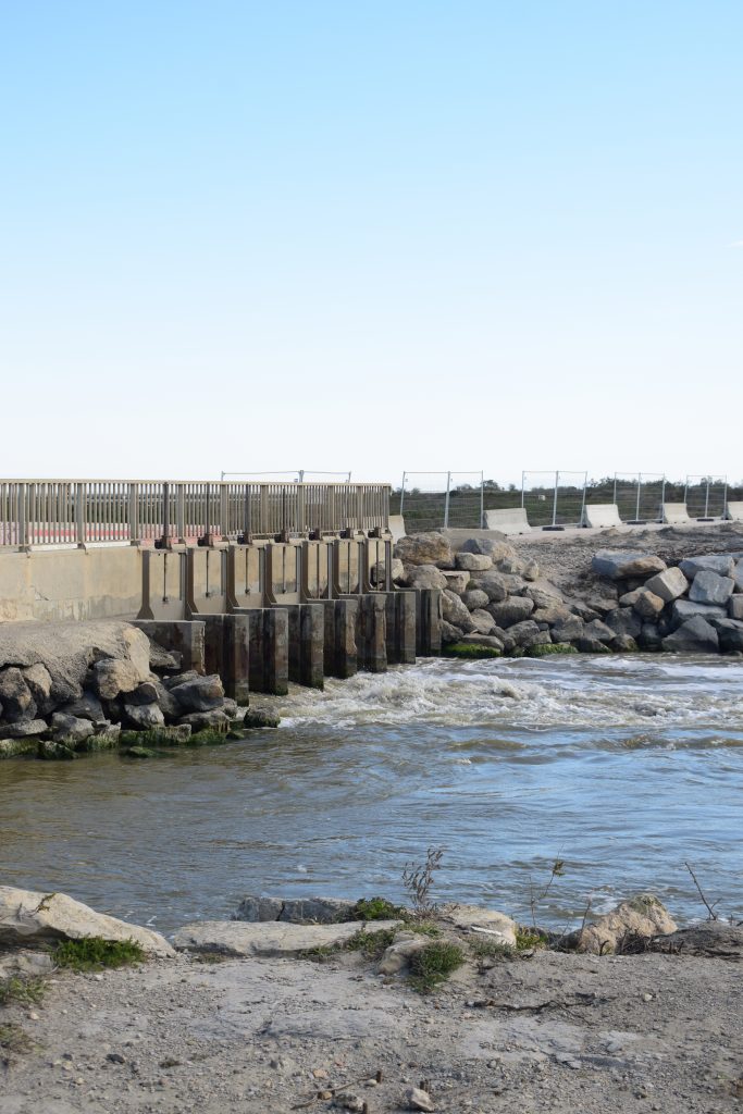
- Reconnecting Lagoons with the Sea: At Pertuis de la Fourcade, a bypass allows fish migration and improves water circulation while limiting salt intrusion.
“Nature-based solutions are not only ecological but also more cost-effective in the long run,” highlights Jean Jalbert, Director of Tour du Valat.
3. Combating Soil and Lagoon Salinization
Salinization, exacerbated by rising waters and freshwater extraction, threatens crops and ecosystems. Actions include:
- Water Observatory of the Regional Nature Park: Real-time monitoring of soil and lagoon salinity to adjust water extraction and freshwater inputs.
- Freshwater Reintroduction: Through diversion canals from the Rhône River.
- Phytoremediation: Aquatic plants are used to filter pollutants and improve water quality.
“In Camargue, freshwater is a precious resource. We must manage it carefully to preserve both agriculture and biodiversity,” explains Laetitia Poulet, Head of Natural Spaces at the Camargue Regional Nature Park.
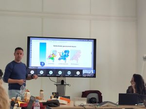
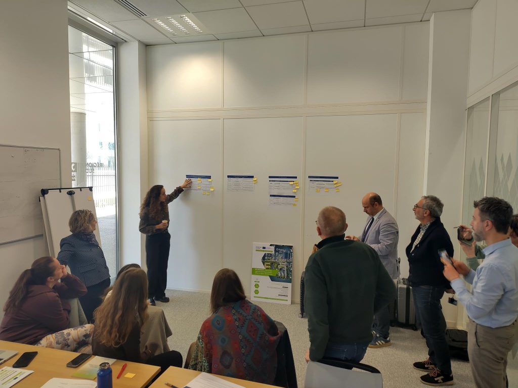
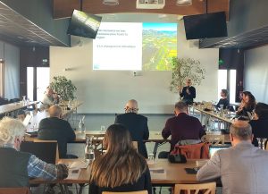
Day 3: Synthesis Workshop in Marseille – Toward Transferable Solutions in Europe
To conclude the three days of exchanges, WaterAdapt partners met in Marseille to collectively draw lessons from the visits to Durance and Camargue and identify best practices to share and adapt to other European territories.
During a workshop, each partner presented their territory’s best practices, followed by a collaborative selection of the most relevant approaches for implementation elsewhere.
Next Steps:
- Webinars in May-June 2026 to assess the feasibility and transfer conditions of these practices, with the goal of integrating them into regional action plans.
- The Sud Region and its regional partners will showcase their best practices in integrating water risks into territorial planning and development. The final objective of WaterAdapt for the Sud Region is to strengthen the integration of these risks within the SRADDET (Regional Scheme for Sustainable Development, Planning, and Equality of Territories) and other planning instruments.